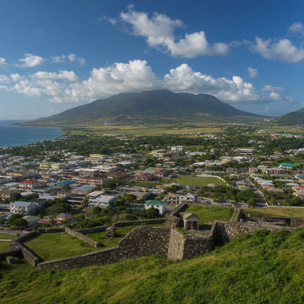
Nevis is often introduced through its beaches and volcanic slopes, yet the island’s most revealing story is written in its towns, estates, roads, churches, schools, and public squares. The changing face of Nevis is the story of how a small Caribbean island adapted from precolonial settlement to plantation wealth, from emancipation to modern nationhood, and from a rural economy to a service-driven future shaped by tourism, heritage conservation, and public infrastructure. Urban development in Nevis does not mean skylines or sprawling suburbs. It means the steady reshaping of Charlestown, village centers, ports, estate lands, housing districts, and civic institutions in ways that reflect economic pressures, environmental limits, and cultural memory.
Understanding this history matters because Nevis is one of the clearest examples in the eastern Caribbean of how built space preserves social history. On an island of roughly thirty-six square miles, changes in land use are unusually visible. A former sugar estate becomes a hotel or housing area. A Georgian building survives earthquakes, hurricanes, and fire, then reopens as a museum or government office. A road alignment reveals where trade moved, where enslaved labor was concentrated, and where modern development followed older plantation boundaries. For residents, planners, investors, and visitors, the landscape of Nevis is not decorative background. It is evidence.
Three terms help explain the topic. History refers to the sequence of political, economic, and social changes that shaped the island from Indigenous occupation through colonialism and independence-era governance. Urban development refers to the planning, construction, preservation, and repurposing of settlements, public works, housing, commercial areas, and infrastructure. In Nevis, culture ties both together: architecture, religion, education, migration patterns, and public ritual all influence how places are used and valued. Because Nevis is part of the Federation of Saint Kitts and Nevis, local development also reflects the balance between island administration, federal structures, and international investment.
What makes Nevis distinctive is scale. I have found that when walking Charlestown or tracing the road from Bath Village through Newcastle and Gingerland, the transitions are compact enough to read directly. Urban growth never erased the past entirely. Instead, old and new layers sit close together: Georgian civic buildings beside modern utility upgrades, plantation ruins near resort developments, villages expanded by concrete homes while retaining family land patterns and churches that anchor community life. This article serves as a hub for the island’s miscellaneous culture-and-history questions, bringing together settlement history, architecture, transport, heritage sites, tourism, and the practical realities that continue to change Nevis today.
From Indigenous Landscape to Colonial Town
Before European colonization, Nevis was inhabited by Indigenous peoples, including Arawakan and later Kalinago communities, who used the island’s coastal access, fertile soils, and freshwater resources strategically. Archaeological evidence across the Lesser Antilles shows that settlement favored sites linked to fishing, cultivation, and inter-island exchange, and Nevis fits that wider regional pattern. Although much of the visible built environment today dates from the colonial period onward, the earliest human geography of the island established a basic truth that still shapes development: settlements cluster where transport, water, and arable land meet.
English settlement began in the early seventeenth century, and Nevis quickly became one of Britain’s wealthiest Caribbean colonies during the sugar era. Charlestown emerged as the administrative and commercial center because it connected port activity with inland estates and offered a defensible coastal position. As sugar profits expanded, road links improved between the town, windmill-equipped plantations, warehouses, and shipping points. Urban development at this stage was inseparable from slavery. Estate wealth funded churches, merchant houses, public buildings, and trade facilities, while enslaved Africans supplied the labor that made both rural and urban growth possible.
The layout of Charlestown reflected this plantation economy. Merchants, officials, and planters concentrated near the town center and waterfront, while labor was dispersed across estates. Public space served commercial control more than civic inclusion. Yet the town also developed institutions that would outlast sugar: courthouses, Anglican churches, burial grounds, and administrative offices. In practical terms, this period fixed the island’s core settlement hierarchy. Charlestown became the political heart, estate villages became labor and production zones, and transport corridors radiated outward in patterns that still influence road use and land valuation today.
Charlestown as the Island’s Historical Core
Charlestown remains the best place to understand urban development in Nevis because the town concentrates nearly every phase of the island’s history. Its Georgian architecture is among the most significant in the Caribbean, especially considering the repeated shocks it endured, including earthquakes, hurricanes, and fires. The town’s surviving scale is part of its value. Government buildings, churches, shops, and residences remain close enough to create a walkable historic district rather than an isolated collection of monuments. That continuity gives Charlestown unusual interpretive power for historians and planners alike.
Several landmarks illustrate how civic identity formed through the built environment. The Alexander Hamilton Museum links the island to one of the Atlantic world’s most recognized historical figures, even as debates continue over biographical details. The Bath Hotel and Spring House, just outside the central town area, recalls eighteenth-century health tourism around Nevis’s geothermal springs, showing that visitor economy development predates modern resorts by centuries. Churches such as St. Paul’s and other parish institutions demonstrate how religion structured community geography beyond the capital. These sites are not random attractions; together they map a long arc of administration, education, commerce, and mobility.
In day-to-day planning terms, Charlestown faces the classic challenge of historic Caribbean towns: how to preserve authenticity while meeting modern needs. Streets were not designed for heavy vehicle volumes. Drainage systems require constant upgrading because intense rainfall can overwhelm old patterns of runoff. Utility improvements, accessibility standards, parking demand, and storm resilience all place pressure on fragile historic fabric. The most effective approach is incremental adaptation. Rather than replacing heritage buildings with oversized concrete blocks, Nevis has generally benefited when restoration, adaptive reuse, and context-sensitive infill guide development decisions.
Estate Landscapes, Villages, and Post-Emancipation Change
Outside Charlestown, the changing face of Nevis is most visible in former plantation districts. Estates once dominated the island economically and spatially. Names such as Montpelier, Golden Rock, New River, and Eden Brown still define local geography because plantation boundaries shaped roads, labor settlements, and landholding patterns for generations. After emancipation in 1834 and full apprenticeship abolition in 1838, Nevisian communities gradually reworked those spaces. Some estate lands stayed in agriculture, some declined into ruin, and some evolved into villages, guest properties, or mixed-use areas that combine residence, farming, and tourism.
Village development on Nevis has always been tied to family networks, parish life, and access to work. Gingerland, for example, is less a single nucleated town than a broad upland community with schools, churches, shops, and homes spread across a historically agricultural zone. Cotton Ground developed with a stronger connection to the western coast and inter-island movement. Newcastle grew in strategic importance because of air transport. Bath Village retained civic significance through proximity to springs, schools, and government functions. These settlements did not urbanize in identical ways, but each absorbed people leaving estate labor systems and later responding to migration, remittances, and public-sector employment.
One lesson repeated across Nevis is that post-plantation development rarely follows a clean break from the past. Old estate houses become inns. Mill ruins remain landmarks. Former cane land is subdivided for housing. Family plots coexist with larger tourism parcels. Because of this layered pattern, land policy is highly consequential. Decisions about title regularization, coastal setbacks, hillside construction, and road access can either support balanced community growth or intensify inequality. On a small island, every rezoning decision has visible historical consequences.
How Infrastructure Reshaped Modern Nevis
Modern urban development accelerated when transportation, utilities, and public services improved. The road network linking Charlestown with parishes around the island enabled faster movement of workers, students, goods, and visitors. Vance W. Amory International Airport at Newcastle changed the geography of access by making direct entry possible without relying solely on sea links from Saint Kitts. Port facilities remained essential for cargo, ferries, and tourism, but air connections altered where investment clustered. Areas once considered peripheral gained new commercial relevance because travel times shrank and service delivery became easier.
Infrastructure is not just about transport. Electricity distribution, telecommunications, water supply, sewage management, and solid waste systems all influence where development can expand responsibly. In practice, I have seen that residents often judge progress less by official plans than by road surfaces, drainage reliability, internet quality, school buildings, and clinic access. Those judgments are sensible. A new resort may attract headlines, but durable development on Nevis depends on whether ordinary settlements can withstand storms, support small businesses, and remain livable for younger generations considering whether to stay or migrate.
| Development driver | Historical effect | Current impact on Nevis |
|---|---|---|
| Sugar estates | Created roads, labor settlements, export points | Shapes land ownership, ruins, tourism conversions |
| Emancipation | Shifted labor and residence patterns | Expanded villages and family-based land use |
| Airport expansion | Reduced isolation from regional markets | Supports tourism, business travel, real estate demand |
| Road and utility upgrades | Linked parishes more efficiently | Enables housing growth and public service access |
| Heritage restoration | Protected historic civic core | Strengthens cultural tourism and local identity |
Natural hazards are part of the infrastructure story. Nevis lies in a hurricane-prone region and also has seismic history. Building standards, drainage design, retaining walls, and coastal protections matter because one severe event can undo years of investment. The island’s geothermal potential also remains an important long-term development question. If advanced responsibly, renewable energy could change operating costs, resilience, and investment patterns. That possibility connects historical geography with future planning: the same volcanic system that created Nevis’s hot springs may help power its next phase of development.
Heritage, Tourism, and the Pressure of Reinvention
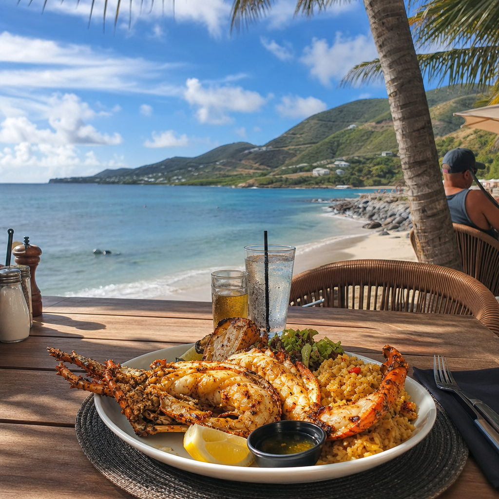
Tourism has become one of the main forces reshaping Nevis, but its effects are mixed and should be assessed carefully. High-end resorts such as Four Seasons Nevis brought jobs, international visibility, and major infrastructure improvements, particularly after rebuilding phases linked to hurricane recovery. At the same time, resort-led development can raise land values, shift labor markets toward service work, and increase pressure on coastal and heritage zones. The strongest development model on Nevis has been the one that connects tourism to local history rather than replacing it.
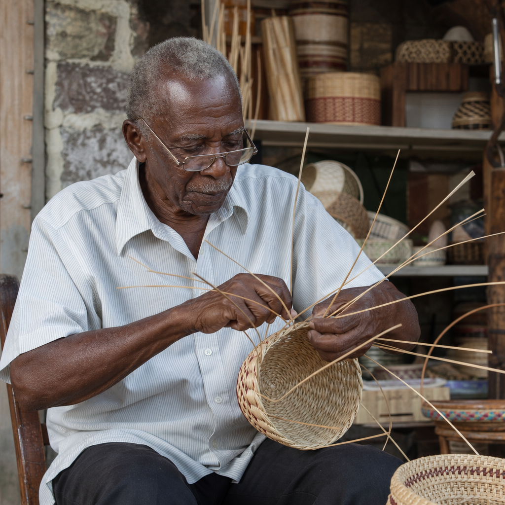
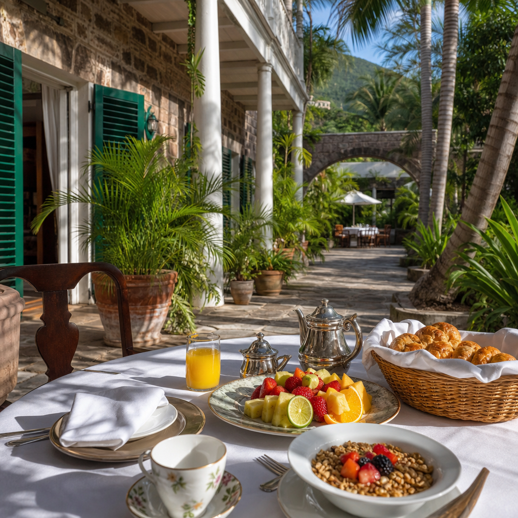
Heritage tourism works on Nevis because the island has authentic assets: plantation ruins, museums, churches, cemeteries, village traditions, hot springs, and a capital town that still feels historically legible. Visitors can move from the Museum of Nevis History to estate inns like Montpelier Plantation, then to community events such as Culturama, seeing that the island’s culture is lived rather than staged. This matters economically. Travelers who understand place tend to stay longer, spend more broadly, and seek guides, restaurants, crafts, and transportation services beyond a single resort compound.
Still, preservation is not automatic. Restoration requires money, technical expertise, and legal clarity. Historic buildings in tropical climates deteriorate quickly if roofs fail, timber decays, or masonry is improperly repaired with incompatible materials. Good conservation in Nevis depends on practical standards: document original fabric, control moisture, respect scale, and adapt buildings without erasing their character. The goal is not to freeze the island in the eighteenth century. It is to let old structures continue serving public life while retaining the evidence that makes Nevis distinct from every generic beach destination in the region.
What the Future of Nevisian Development Requires
The future of Nevis depends on treating history as infrastructure, not ornament. The island’s roads, villages, estates, and public buildings already contain hard-earned lessons about climate, economy, and community. Development works best when it respects settlement patterns, invests in drainage and utilities before speculative expansion, and protects Charlestown and key heritage sites from short-term decisions that cannot be reversed. It also requires realistic housing policy, transparent land administration, support for local enterprise, and stronger links between education, conservation, and tourism planning.
The main takeaway is simple: urban development and history in Nevis are inseparable. Charlestown explains governance and trade. Estates explain wealth, inequality, and land use. Villages explain emancipation, family continuity, and social change. Infrastructure explains modern opportunity. Tourism explains both renewal and pressure. Read together, these layers show an island that has continually reinvented itself without completely losing the map of its past. For anyone exploring Nevis under the wider culture-and-history topic, this hub offers the context needed to understand every related article in the miscellaneous subtopic.
If you want to understand Nevis more deeply, start on foot in Charlestown, then follow the roads outward to the villages and estate landscapes that surround it. Look at how buildings sit on the land, ask why roads run where they do, and notice which places have been restored, reused, or left in ruin. That approach reveals the changing face of Nevis better than any brochure. Use this hub as your starting point, then continue into the island’s related history, architecture, heritage, and community stories.
Frequently Asked Questions
1. How has urban development in Nevis reflected the island’s broader history?
Urban development in Nevis closely mirrors the island’s historical journey, making its built environment one of the clearest ways to understand how Nevis changed over time. Long before colonial town planning, the island was inhabited by Indigenous peoples who used the land according to patterns of settlement, movement, and resource use tied to the coastline, fertile soils, and access to fresh water. With European colonization, however, land use shifted dramatically. The rise of the plantation economy reorganized Nevis around estates, sugar production, ports, and roads that served export trade rather than local community life. Settlements grew where commerce, administration, and religion were concentrated, and the island’s urban character began to take shape around practical colonial needs.
As plantation wealth expanded, places like Charlestown became more prominent as centers of government, trade, and public life. Churches, courthouses, warehouses, schools, and merchant houses were built to support both administration and commerce. After emancipation, urban and village development gradually began reflecting different social priorities. Formerly enslaved people established communities, land ownership patterns slowly evolved, and new social institutions emerged. Over time, Nevis moved from a landscape dominated by plantation estates to one shaped by civic infrastructure, tourism, transport improvements, and service-based activity. Today, the island’s towns and public spaces reveal layers of that history all at once: colonial street patterns, religious buildings, estate ruins, government structures, and newer commercial development all coexist, showing how Nevis adapted rather than erased its past.
2. Why is Charlestown so important to understanding the changing face of Nevis?
Charlestown is essential to understanding Nevis because it functions as the island’s historical, political, and urban heart. While Nevis is often associated with beaches and natural beauty, Charlestown tells the deeper story of how the island operated across centuries. It developed as a port town and administrative center, which meant that decisions about trade, governance, law, religion, and education were often concentrated there. Its streets, public buildings, and waterfront connections reflect the island’s role in the wider Caribbean economy, especially during the plantation era when goods and people moved through the town in ways that shaped local life.
What makes Charlestown especially revealing is the way it preserves multiple historical periods within a relatively compact space. Colonial architecture, churches, cemeteries, government buildings, and commercial structures provide visible evidence of the island’s social and economic development. At the same time, Charlestown is not simply a preserved relic. It remains an active urban center where residents work, shop, attend school, access public services, and engage in civic life. That combination of continuity and change is what makes it so important. Modern infrastructure, road upgrades, tourism services, and heritage preservation efforts all intersect in Charlestown, showing how Nevis balances present-day needs with historical identity. In many ways, if you want to understand the changing face of Nevis, Charlestown is the place where that evolution is most clearly visible.
3. What role did plantations and estates play in shaping Nevis’s towns, roads, and communities?
Plantations and estates were among the most powerful forces in shaping the physical and social landscape of Nevis. During the height of the sugar economy, estates were not just agricultural units; they were organizing centers of land ownership, labor, transportation, and wealth. Roads were often developed to connect plantations to mills, storage areas, and ports, which influenced settlement patterns across the island. In practical terms, this meant that much of Nevis’s early infrastructure served the movement of crops and goods rather than the needs of a broad population. Estate houses, works yards, processing facilities, and surrounding labor settlements became defining features of the landscape.
The influence of plantations extended far beyond economics. They also shaped where communities emerged, how social classes were spatially arranged, and which areas received investment. After emancipation, the legacy of the estate system remained deeply embedded in the island’s geography. Former plantation lands often became the foundation for villages, smallholdings, or repurposed properties, while estate ruins remained as physical reminders of a difficult but formative period in Nevisian history. Today, many of these sites are interpreted through heritage tourism, conservation, and historical education. Their continued presence helps explain why roads run where they do, why certain settlements developed in particular locations, and how the island transitioned from plantation dominance to a more diversified economy. Understanding the estate system is therefore critical to understanding the layout and development of modern Nevis.
4. How did emancipation and the post-plantation period change development on Nevis?
Emancipation marked a major turning point in the development of Nevis because it disrupted the plantation system that had long dictated how land, labor, and settlement were organized. Although the transition was gradual and often unequal, the post-emancipation period opened the way for new forms of community life and social organization. Freed people sought greater independence, and over time this contributed to the growth of villages, small-scale agriculture, religious institutions, schools, and local networks outside the direct control of plantation owners. Development patterns began to reflect broader community needs rather than being driven entirely by export agriculture.
This period also changed the meaning of public space and civic life. Education, worship, local commerce, and community identity became increasingly important to how settlements evolved. Schools and churches often served as anchors of village development, while roads and local gathering places gained importance as the island adjusted to new economic and social realities. In the longer term, the decline of sugar and the reduced dominance of large estates created space for a different vision of Nevisian development. That shift did not happen overnight, and many inequalities persisted, but the island gradually moved toward a more mixed economy and a more community-centered landscape. Modern Nevis, with its combination of villages, heritage sites, administrative centers, and tourism-linked development, is deeply rooted in the changes that began after emancipation.
5. How is Nevis balancing modernization, tourism, and heritage conservation today?
Nevis is balancing modernization, tourism, and heritage conservation by treating its historic landscape as both a cultural asset and a living part of everyday life. This is especially important on a small island where new infrastructure, economic opportunity, and environmental pressures all compete for space. Roads, utilities, public buildings, and tourism facilities are necessary for contemporary development, but there is also strong recognition that the island’s identity is tied to its historic towns, estate ruins, churches, schools, and civic spaces. Rather than viewing history and development as opposites, Nevis increasingly presents them as connected goals: preserving the past can strengthen the visitor economy, support education, and reinforce community pride.
Tourism plays a major role in this balance. Visitors are often drawn not only to natural scenery but also to heritage experiences, architecture, museums, and historic districts. That creates an incentive to maintain significant sites and protect the character of places like Charlestown. At the same time, modernization must serve residents first, which means improving transportation, public services, utilities, and urban functionality without undermining the island’s cultural fabric. The challenge is ongoing, but it is also central to the changing face of Nevis. The island’s future will likely depend on how successfully it can continue integrating heritage conservation with economic development, environmental resilience, and thoughtful planning. In that sense, modern Nevis is not leaving its history behind; it is using history as a foundation for what comes next.