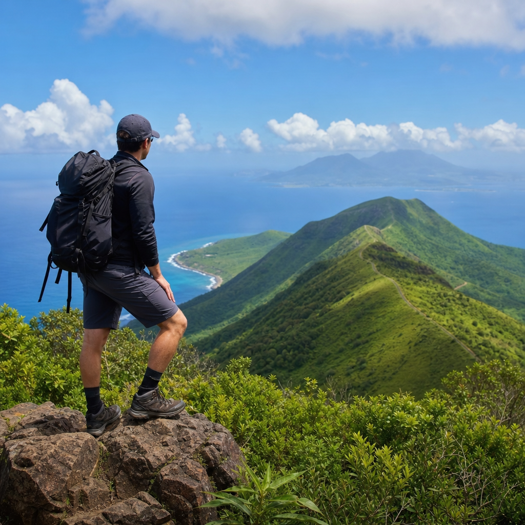
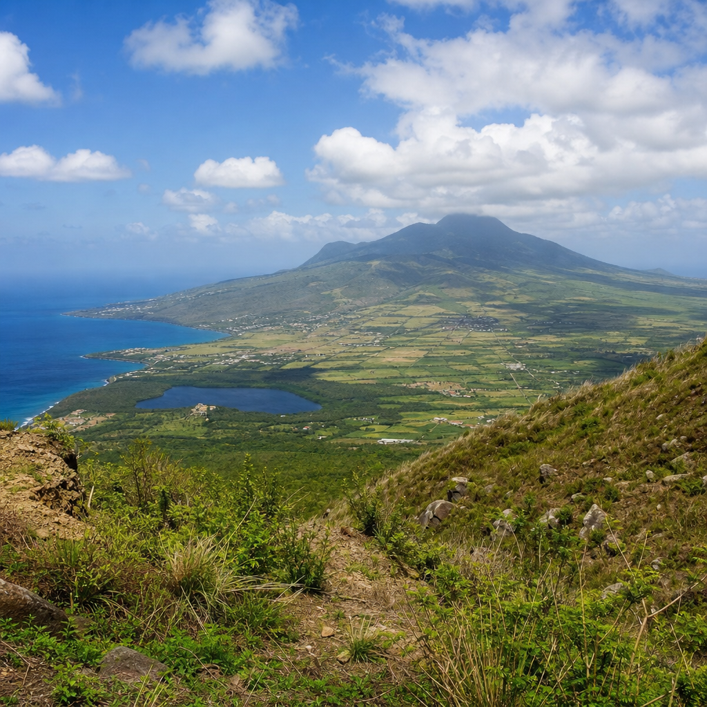
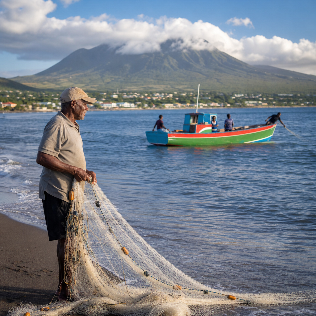
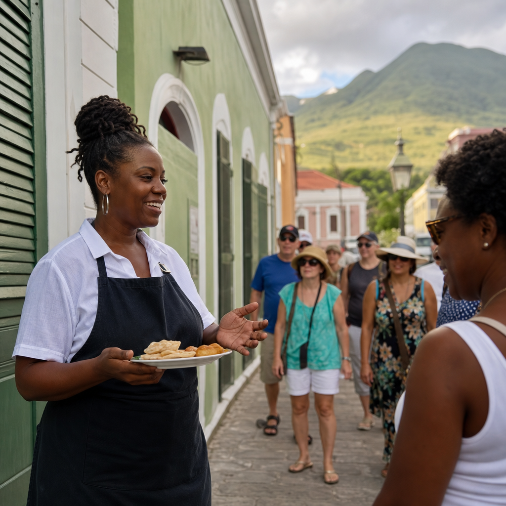
Nevis is often described through its beaches, volcanic slopes, and plantation history, yet its rivers and streams reveal the island’s most intimate geography. These hidden waterways shape forests, feed farms, guide wildlife, and quietly explain why the landscape feels so fertile despite a relatively small landmass. On a Caribbean island where many visitors expect only coastline and dry ghauts, freshwater channels add another dimension: they connect cloud forest, village life, and coastal ecosystems in one continuous system. Understanding Nevis’ hidden waterways means looking beyond postcard scenery and reading the island from ridge to ravine.
In practical terms, rivers and streams on Nevis include year-round and seasonal channels, mountain runoff, spring-fed flows, and ephemeral watercourses known locally as ghauts. Because Nevis Peak rises sharply to more than 3,200 feet, moist trade winds condense into cloud and rain at higher elevations. That water travels downhill through steep guts, narrow valleys, and vegetated drainage lines before seeping into aquifers, feeding wetlands, or reaching the sea. Some channels run visibly after heavy rain; others flow beneath stones, through shaded forest, or only during the wettest periods. Together they form a freshwater network that is easy to miss unless you know where to look.
This matters for three reasons. First, waterways are ecological corridors. On field walks in Nevis, I have repeatedly found that the coolest, most biodiverse stretches of habitat are near streambeds, where tree ferns, mosses, insects, amphibians, and birds cluster around moisture. Second, these channels are essential to water security. Small islands depend on careful watershed management, and upland catchments directly influence groundwater recharge, erosion rates, and sediment reaching reefs. Third, rivers and streams are cultural landscapes. They appear in old estate boundaries, local place names, agricultural routines, and walking routes used by residents long before hiking became a visitor activity. For a Nature and Wildlife hub page, this Miscellaneous topic is especially useful because it links hydrology, conservation, recreation, and local knowledge in one subject.
Anyone asking what makes Nevis’ waterways distinctive should start with scale and subtlety. Unlike continental rivers, Nevisian streams are short, steep, and highly responsive to rainfall. They can change quickly, especially after tropical downpours, and their significance is often greater than their size suggests. A narrow shaded runnel in the foothills may support pollinators, slow floodwater, and sustain downstream vegetation all at once. Exploring these waterways is therefore less about dramatic rafting-style rivers and more about noticing microhabitats, seasonal rhythms, and the way freshwater organizes the island’s life from summit to shore.
How Nevis’ waterway system works
The hydrology of Nevis begins with topography. Nevis Peak dominates the island’s center, creating radial drainage patterns that send water outward in multiple directions. Rainfall is generally higher at elevation, and the upper slopes capture moisture not only through direct precipitation but also through cloud interception, a process in which vegetation combs water from mist. In island watersheds, this can meaningfully increase total water input. The result is a series of small catchments rather than one dominant river basin, with each drainage channel responding to slope, soil depth, vegetation cover, and storm intensity.
Volcanic geology plays a major role. Nevis is built from volcanic materials that can be both permeable and unstable depending on weathering and compaction. Water may infiltrate quickly in some zones, recharging subsurface stores, while in other places intense rain runs off over clay-rich or saturated ground. That is why some streams seem to vanish and reappear. In my experience walking island trails after rain, a channel that looks dry at one crossing may be audibly flowing a few hundred meters away under boulders or through a cutbank shaded by heliconia and wild ginger. The island teaches you to listen as much as to look.
Seasonality matters as well. Nevis has wetter and drier periods, and waterways expand or contract accordingly. During the wet season, ephemeral ghauts can become powerful conveyors of water, sediment, branches, and leaf litter. In dry months, those same channels may persist as damp corridors rather than open flow. This variability is not a sign that the waterways are unimportant; it is the defining feature of tropical island drainage. Seasonal flow pulses transport nutrients, shape streambeds, and create breeding or feeding opportunities for species adapted to short windows of abundance.
For travelers or researchers, the best way to think about Nevis’ freshwater system is as a network of connected zones: cloud forest catchment, mid-elevation ravines, foothill drainage lines, agricultural edges, and coastal outlets. Each zone has its own character, but no section functions in isolation. Upland deforestation increases runoff velocity downstream. Poor road drainage sends sediment into lower channels. Coastal development can block natural outflow. Conversely, healthy vegetation and careful land use preserve infiltration, stabilize banks, and protect both streams and nearshore marine habitats.
Where to look: typical river and stream environments on the island
Visitors searching for named rivers on a printed map may come away underwhelmed, but that misses the point. Nevis is best explored through environments rather than headline waterways. The upper mountain slopes contain the island’s wettest habitats, where narrow channels cut through tree-root systems and dark volcanic soil. These are not places for casual wandering without a guide, but they explain the origin of much of the island’s freshwater. Mossy rocks, dripping leaves, and sudden temperature drops make these uplands feel distinct from the coast within a surprisingly short distance.
Mid-elevation guts are often the most rewarding for observation. Here, stream channels become easier to trace, and the surrounding vegetation opens enough to notice species interactions. Fern-lined banks, vines, bamboo thickets in disturbed areas, and overhanging fruit trees can all appear along these routes. On several walks near old estate lands, I have seen how abandoned stoneworks, culverts, and crossing points reveal the historic importance of water movement. Even where flow is modest, the terrain shows that residents long understood where water traveled and how to work around it.
Lower foothill and village-edge channels are another important setting. These stretches may look more altered by roads, drainage works, gardens, and grazing, yet they often show the clearest relationship between human settlement and natural flow. After heavy rainfall, residents pay close attention to these watercourses because they determine pooling, access, and erosion. For nature-focused visitors, these areas also demonstrate how birds and insects use mixed habitats where native and cultivated species overlap.
At the coast, freshwater outlets are easy to overlook because they may appear as damp sand, brackish pockets, mangrove edges, or vegetated depressions rather than obvious river mouths. Still, these transition zones are ecologically important. Freshwater mixing with seawater influences salinity, sediment deposition, and nursery habitat for small fish and invertebrates. That connection between stream and sea is one reason watershed protection is not only an inland issue.
| Waterway zone | Typical features | What to notice |
|---|---|---|
| Upper slopes | Cloud moisture, steep channels, dense forest | Source areas, cool microclimates, root-stabilized soils |
| Mid-elevation ravines | Visible streambeds, boulders, ferns, historic crossings | Wildlife activity, erosion patterns, estate-era landscape use |
| Foothill channels | Mixed natural and developed edges, seasonal flow | Runoff management, bird diversity, human-water interaction |
| Coastal outlets | Brackish zones, sediment fans, wet depressions | Freshwater-seawater mixing, reef and nursery habitat links |
Wildlife and plant life supported by freshwater corridors
Nevis’ streams are small, but their ecological value is outsized. Freshwater corridors create humidity gradients and cooler temperatures that many species depend on. Insects are usually the first sign of this. Dragonflies and damselflies patrol open patches; aquatic larvae occupy shallow pools when water persists long enough; and pollinators gather around flowering plants rooted in moist soil. These insect communities, in turn, support birds, reptiles, and amphibians. If you stand quietly near a shaded stream edge in the early morning, movement increases as the sun reaches the canopy.
Birdlife often concentrates near waterways because they offer drinking sources, nesting material, and insect prey. On Nevis, habitat generalists and forest-associated species both use these corridors. Even when flow is minimal, streambeds function as movement routes through thicker vegetation. The same is true for small reptiles seeking cooler refuge during hotter parts of the day. Moist edges also support snails, crabs in some lower reaches, and decomposer communities that break down leaf litter and recycle nutrients into the food web.
Plant diversity shifts noticeably with water availability. Tree ferns, mosses, liverworts, sedges, and moisture-loving understory plants become more common along shaded channels. In disturbed zones, nonnative species may also take advantage of water access, which creates a management challenge. Riparian vegetation is not decorative background; it stabilizes banks, slows runoff, filters sediment, and moderates water temperature. Remove that plant cover, and channels widen, warm, and erode more easily. Healthy streamside vegetation is one of the simplest indicators of watershed condition.
Freshwater corridors also matter beyond the channel itself. Sediment trapped by roots upstream is sediment that does not wash onto seagrass beds or reefs downstream. Organic matter carried through streams feeds coastal food webs. In that sense, a shaded ravine in the hills contributes to marine biodiversity offshore. This ridge-to-reef relationship is widely recognized in island conservation planning because upland neglect almost always shows up later as coastal decline.
History, culture, and practical uses of streams in Nevis
Nevis’ waterways have long influenced settlement and land use. Sugar estates, provision grounds, and later small farms all depended on reading the terrain correctly. Water determined where paths crossed, where walls held, where soils stayed productive, and where flood risk was highest. In older landscapes, you can still see how roads bend to avoid guts or how stone retaining structures were placed to manage runoff. These are quiet records of environmental knowledge rather than monumental heritage sites, but they deserve attention.
Historically, freshwater sources were tied to daily routines such as washing, livestock care, and irrigation support, though island communities also relied heavily on stored rainwater and springs. On a small volcanic island, dependable freshwater is never taken for granted. That remains true today. Modern water infrastructure reduces direct dependence on stream channels, yet the underlying watershed still determines how much water enters aquifers and how resilient the island remains during dry spells. Protecting streams is therefore not nostalgic environmentalism; it is practical resource management.
There is also a recreational and educational dimension. Guided hikes, birding outings, and environmental field visits often become more memorable when they follow water. Streams make geology visible, because you can read rock size, sediment sorting, and bank undercutting in real time. They make climate visible, because a recent shower leaves immediate evidence in flow and leaf drip. And they make history visible, because old crossings and agricultural traces cluster where movement and water once intersected. For a Miscellaneous hub, this is exactly the kind of topic that links many smaller articles, from hiking routes to endemic species to watershed conservation policy.
Challenges facing Nevis’ hidden waterways and how to explore responsibly
No freshwater system on a small island is immune to pressure. Intense rainfall events can trigger flash flooding and severe erosion, especially where vegetation has been cleared or slopes have been cut for roads and construction. Sediment is one of the most persistent threats because it degrades stream habitat and can smother nearshore ecosystems. Dumping yard waste or litter into ghauts is another problem; during storms, channels turn into fast transport routes that move debris downstream quickly.
Climate variability adds uncertainty. Longer dry periods may reduce base flow and stress moisture-dependent habitats, while stronger rain bursts can increase runoff rather than infiltration. This combination is difficult for watershed managers because the same island may face water scarcity and flood risk in different months. Good policy therefore focuses on catchment protection, drainage maintenance, erosion control, and preserving vegetated buffers along stream courses. These measures are not glamorous, but they are effective.
For visitors, responsible exploration is straightforward. Do not enter narrow ghauts when rain is falling upstream or forecast is unstable; flash floods on steep islands develop quickly. Wear proper footwear, avoid trampling stream banks, and never disturb stones or pools unnecessarily because small aquatic organisms often shelter beneath them. Use local guides for less familiar routes, especially in upland terrain where navigation and weather can change fast. Photography is fine, collection is not. If you are birding or wildlife watching, stay quiet and let the corridor function on its own terms.
The best hidden-waterway experiences in Nevis come from patience. Walk slowly, stop at crossings, and scan for the details people miss: a cool pocket of air, a line of ferns marking subsurface moisture, dragonflies holding territory above a pool, or a coastal wet spot that hints at freshwater emerging below the sand. Those observations turn a simple walk into a real understanding of how the island works.
Nevis’ rivers and streams may be modest in scale, but they are foundational to the island’s ecology, water security, and sense of place. They begin in cloud-wrapped uplands, pass through ravines and foothills, support wildlife and plant communities, and eventually influence coastal habitats. They also preserve evidence of how generations of residents adapted to terrain, rainfall, and limited freshwater resources. Seen this way, the island’s hidden waterways are not side notes to the landscape; they are one of its organizing systems.
For readers exploring the Nature and Wildlife section, this Miscellaneous hub offers a useful entry point because waterways connect so many other subjects. A stream can lead you to forest birds, volcanic soils, historic estates, mangrove edges, conservation strategy, and hiking routes in a single day. That interconnection is the main benefit of paying attention to freshwater on Nevis: you understand more of the island, not just one feature on it.
Use this guide as a starting point, then continue into related articles on trails, habitats, birds, coastal ecosystems, and conservation to build a fuller picture of Nevis from ridge to reef.
Frequently Asked Questions
Why are Nevis’ rivers and streams important if the island is better known for beaches and volcanic scenery?
Nevis’ rivers and streams matter because they explain how the island functions beyond its shoreline. While beaches and volcanic peaks shape first impressions, freshwater channels reveal the deeper ecological structure of the island. These waterways collect rainfall from higher elevations, especially around Nevis Peak and its surrounding forest, then move that water through ravines, ghauts, wetlands, farms, and lower settlements. In practical terms, they help sustain vegetation, recharge soils, support agriculture, and create habitats that many birds, insects, and small animals depend on. They also help explain why Nevis often feels so green and fertile despite its compact size.
Just as importantly, these streams connect very different parts of the landscape. Water that begins in cool, misty cloud forest can eventually influence village gardens, grazing land, and nearshore coastal ecosystems. That continuous movement links upland rainfall to lowland productivity. Even when a channel looks small or seasonal, it can still play a major role in nutrient flow, erosion control, and groundwater support. In other words, Nevis’ hidden waterways are not scenic extras; they are part of the island’s living infrastructure, quietly shaping the land in ways that visitors may not notice at first glance.
Are Nevis’ waterways flowing rivers in the classic sense, or are they mostly seasonal streams and ghauts?
Most of Nevis’ freshwater channels are better understood as a mix of small streams, runoff corridors, and ghauts rather than broad, continuously flowing rivers of the kind people might picture on larger continents. The island’s volcanic topography, steep interior slopes, and tropical rainfall patterns create drainage systems that can change noticeably depending on elevation, recent weather, and season. Some channels may carry clear, steady water in wetter upland areas, especially where forest cover helps retain moisture, while others appear dry for periods and then flow strongly after rain.
This does not make them unimportant or insignificant. On small Caribbean islands, seasonal waterways often do a great deal of environmental work. They move sediment, feed vegetation, create microhabitats, and direct water from the mountain interior toward lower farmland and coastal zones. A ghaut that seems dry at midday can still be a crucial drainage pathway during storms and a long-term shaper of the island’s surface. Understanding Nevis requires looking beyond the idea that only large, permanent rivers count. Its waterways are subtle, dynamic, and often hidden by forest or terrain, but they remain central to how the island stores, channels, and responds to water.
How do Nevis’ rivers and streams influence forests, farms, and wildlife?
Nevis’ waterways influence forests, farms, and wildlife by distributing moisture across the island in ways that support both natural ecosystems and human land use. In the forested interior, streams help maintain humid conditions that encourage dense plant growth, especially in higher elevations where rainfall and cloud cover are more frequent. These moist corridors support ferns, mosses, understory plants, and trees that thrive in protected ravines and shaded slopes. Because water is one of the key limiting factors in island ecology, even modest stream systems can create especially rich pockets of biodiversity.
For farms, the impact is equally important. Freshwater channels and the damp soils around them can improve local growing conditions, replenish ground moisture, and help explain why certain areas are more productive than others. Historically and in the present day, access to water has shaped where cultivation succeeds most reliably, particularly for crops that benefit from consistent soil moisture. These waterways also move organic matter downslope, contributing to the fertile feel of the landscape.
Wildlife depends on these same systems in multiple ways. Birds use riparian areas for food and shelter, insects breed in wet habitats, and small animals rely on streamside cover as protected movement routes. In coastal areas, freshwater outflow can also influence estuarine and nearshore conditions, subtly affecting marine life where land and sea meet. Taken together, Nevis’ streams are ecological connectors: they do not just pass through the landscape, they help organize it.
What makes Nevis’ hidden waterways especially interesting for visitors who want to understand the island more deeply?
For visitors, Nevis’ waterways offer a more intimate reading of the island than beaches alone can provide. Following a stream valley, noticing a shaded ghaut, or observing how vegetation changes around damp ground reveals how the island is put together from the inside out. These places often feel quieter and less curated than the coast, which makes them valuable for travelers interested in ecology, geography, photography, hiking, and local landscape history. Freshwater channels show where rain lingers, where forest thickens, where villages adapted to terrain, and where the mountain still directs daily life.
They are also interesting because they challenge common assumptions about Caribbean islands. Many people arrive expecting sun, surf, and dry seasonal gullies, but Nevis adds another layer through its upland moisture and hidden drainage networks. That contrast between expectation and reality can be striking. A stream bordered by dense vegetation, birdsong, and volcanic rock tells a different story from a postcard beach: one of water cycles, fertility, elevation, and resilience.
For travelers who appreciate place-based understanding, these waterways help explain why Nevis feels lush, grounded, and coherent as a landscape. They connect cloud forest to cultivated land and, ultimately, to the sea. Seeing that connection makes the island feel less like a collection of attractions and more like a complete environmental system.
How should people explore Nevis’ rivers and streams responsibly and safely?
The best approach is to treat Nevis’ waterways as sensitive natural corridors rather than casual recreation zones. Conditions can change quickly with rainfall, especially in steep channels and ghauts, so visitors should avoid entering narrow drainage areas during unsettled weather or after heavy rain. Even seemingly minor streams can become fast-moving or slippery, and volcanic terrain often includes loose stones, muddy banks, and uneven footing. Proper footwear, local guidance, and attention to weather are essential.
Responsible exploration also means minimizing environmental disturbance. Stay on established paths where possible, avoid trampling stream banks, and do not remove stones, plants, or wildlife. Riparian zones are often more fragile than they appear because repeated foot traffic can accelerate erosion and damage habitat. Visitors should also be careful not to leave litter, introduce contaminants, or treat freshwater channels as places for washing products or disposing of waste. On a small island, ecological impacts can travel quickly downstream.
If possible, explore with a knowledgeable local guide who understands both terrain and seasonal behavior. That adds safety, but it also deepens the experience by highlighting how water shapes farming patterns, settlement, vegetation, and local memory. Respect for private land is equally important, since some stream corridors may pass near cultivated areas or community spaces. Approached carefully, Nevis’ hidden waterways offer one of the island’s most rewarding and revealing experiences.